
Suuri-Pisi nature marina
60°27.00’ N, 27°37.90’ E
Map series A 605
Harbour code: 108
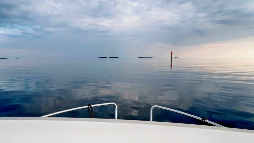
Suur-Pisi is the national park’s easternmost camping island, where docking is allowed without a special permit. The island is in the municipality of Virolahti, about ten nautical miles from the mainland and less than a nautical mile from the border zone. The island, which is just under one kilometre long and 300 metres wide, is a popular day trip destination for local boaters, but also serves a good excursion harbour for overnight stays. Good places for docking can be found in a cove at the northern tip of the island. Stern-to mooring and anchoring is also possible in the northern tip and northeast shore of the island, where mooring rings are attached here and there to the rocks.
Especially when the wind blows from the south, the northern tip also has sheltered beaches for swimming and spots for sunbathing. Near the island’s north cove, hikers and backpackers will find camping sites, campfire sites, a cooking shelter, an information board about the island and a dry toilet.
Even with height differences of ten metres or so, the island’s terrain has paths that are easy to walk on along the cliffs and amid low-growing pine trees.
The most famous attraction can be found on the rocks of the northern tip of the island, where the royal monogram of the King of Sweden and the date 14 June 1777 are engraved. On that day, King Gustav III had to seek shelter on the island from heavy weather conditions at sea on his way to St. Petersburg.
Like many other islands in the eastern Gulf of Finland, the history of Suur-Pisi is marked by war. During the Continuation War, there was a small outpost on the island, which the Russians invaded on 15 August 1941. The names of Finland’s war heroes are engraved on the cliffs of Suur-Pisi.


Did you find what you were looking for?