
Mustaviiri Nature Marina
Location: 60°16.7′ N, 26°36.5′ E
Map series A 614
Harbour code: 188
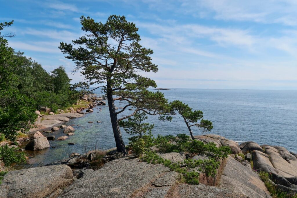
Mustaviiri, in the outer archipelago in the municipality of Pyhtää, about eight nautical miles from the mainland, is the westernmost camping island found in the Eastern Gulf of Finland National Park.
Due to its location on the open sea, the island’s rocky beaches are exposed to the winds. The island has no piers. The best access point to the island is on the northeast shore, opposite Kaiskeri island, where there is a breakwater made of rocks. Securing the boat is safest on the south side of the breakwater using the rings in the rocks and the stern anchor. The water depth is between one and three metres when sea levels are normal during the summer season. The safest approach is from the north side of the breakwater.
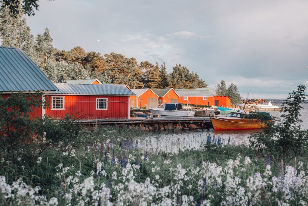
In Mustaviiri, Metsähallitus runs camping services that include an open wilderness hut, a camping site, a campfire site with fire wood and a dry toilet.
Going around the island is a 1.6-kilometre marked nature trail, along which you can find the newest UNESCO World Heritage site in Finland, an original station point of the Struve Geodetic Arc. The station point is in the middle of the island, on an open cliff. The site also has an observation tower for enjoying the magnificent views.
Historical attractions along the path include, for example, two maiden’s dances (jatulintarha). These stone labyrinths are typically ten to 12 metres in diameter. The oldest stone labyrinths are from the Stone Age, and the youngest are more than a hundred years old.


Did you find what you were looking for?