
Salpa Trail Hiking Route
The Salpa Trail offers an excellent opportunity for outdoor exercise and recreation in the beautiful natural setting of Southeastern Finland.
Discover the Salpa Trail, a perfect natural retreat for outdoor activities. This 50-kilometer route traces the Salpa Line, meandering through Virolahti and Miehikkälä to South Karelia’s Hostikka cave. Along the way, explore Salpa Line relics like reinforced concrete dugouts and caves, all with informative boards.
Start your adventure at key points like the Salpa Line Museum, Bunker Museum, and Harju Learning Centre. The trail suits hikers and mountain bikers, offering flexibility for shorter journeys. The Myllylampi outdoor area in Miehikkälä connects to the route, featuring rest areas and a beach. In Harju, don’t miss the Vahtivuori and Huovinmäki trails. The Bunker Museum presents the Trail of the Unknown Soldier and Wilderness Trail.
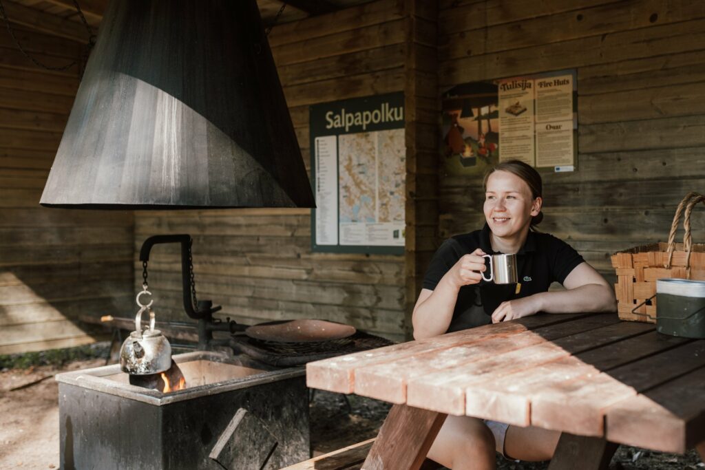
If you’re with kids, enjoy a shorter trip with campfire cooking. Convenient car access is possible. Find drinking water at four locations, including Harju Learning Centre, both museums, and Sihkarinkallio. Geocaching enthusiasts can hunt for over 100 caches, adding exciting challenges to this historically rich and naturally stunning journey.
The trail is suitable for:
- Hikers
- History enthusiasts
- Nature travellers
- Mountain bikers
- Families looking for outdoor excursions
- Visitors interested in Finnish wartime heritage
Highlights Along the Trail
Salpa Line Museum
Located in Miehikkälä, the Salpa Line Museum offers insight into one of Finland’s most significant defensive structures and serves as a popular starting point for the trail.
Virolahti Bunker Museum
This museum area features original fortifications and informative exhibits about the Salpa Line defensive system.
Hostikka Cave
Hostikka Cave is among the most distinctive military-history attractions along the route and marks one of the trail’s northern highlights.
Harju Area
The Harju outdoor area includes additional loop trails such as Vahtivuori Circuit and Huovinmäki Circuit, offering excellent opportunities for day hikes.
Nature and Outdoor Experiences
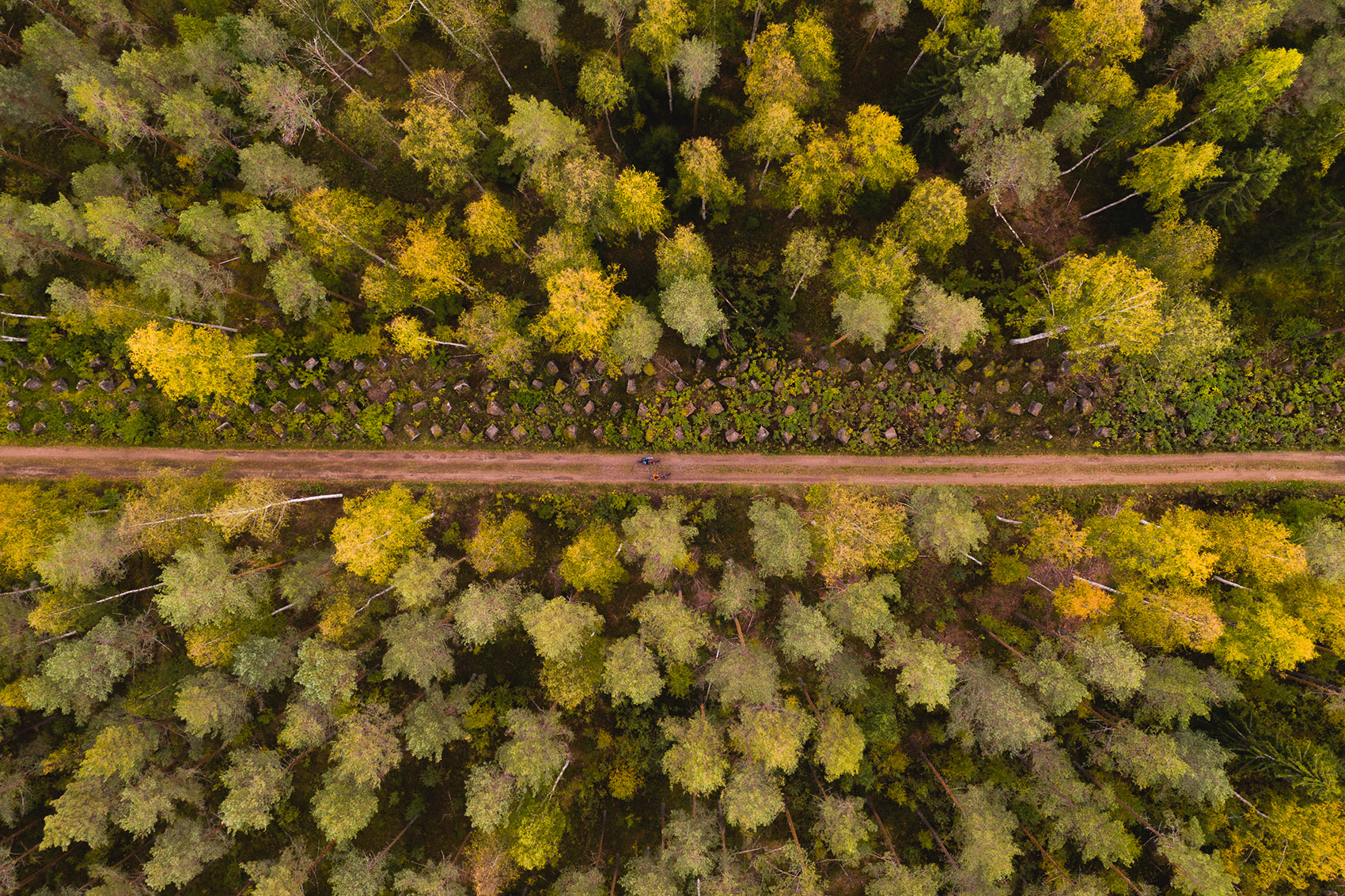
The Salpapolku Trail showcases the diverse landscapes of Southeast Finland, including forests, ridges, hills, rural fields, and natural recreation areas. Along the route visitors will find rest areas and opportunities for longer outdoor adventures.
Frequently Asked Questions
How long is the Salpapolku Trail?
The trail is approximately 50 kilometres long.
Can I cycle the route?
Yes. The route is suitable for mountain biking as well as hiking.
Where is Salpapolku located?
The trail is located in Southeast Finland, primarily in the municipalities of Virolahti and Miehikkälä near the Finnish eastern border region.
What can visitors see along the route?
Visitors can experience Salpa Line fortifications, bunkers, caves, museums, Finnish forests, and cultural landscapes.
Where to Get to the Trail?
- Harju Manor, Katariinankuja 19, Ravijoki, Virolahti
WGS84 coordinates: N 60.32020 E 27.33147 - Virolahti Bunker Museum, Vaalimaantie 1318, Ala-Pihlaja, Virolahti
WGS84 coordinates: N 60.572972 E 27.593853 - Salpa Line Museum, Säästöpirtintie 70, Miehikkälä
WGS84 coordinates: N 60.684209 E 27.671243 - Hostikka cave, Hostikantie 30, Ahomäki
WGS84 coordinates: N 60.774840 E 27.791481
Read more about the Salpa Trail and navigate on Outdoor Active.




Did you find what you were looking for?